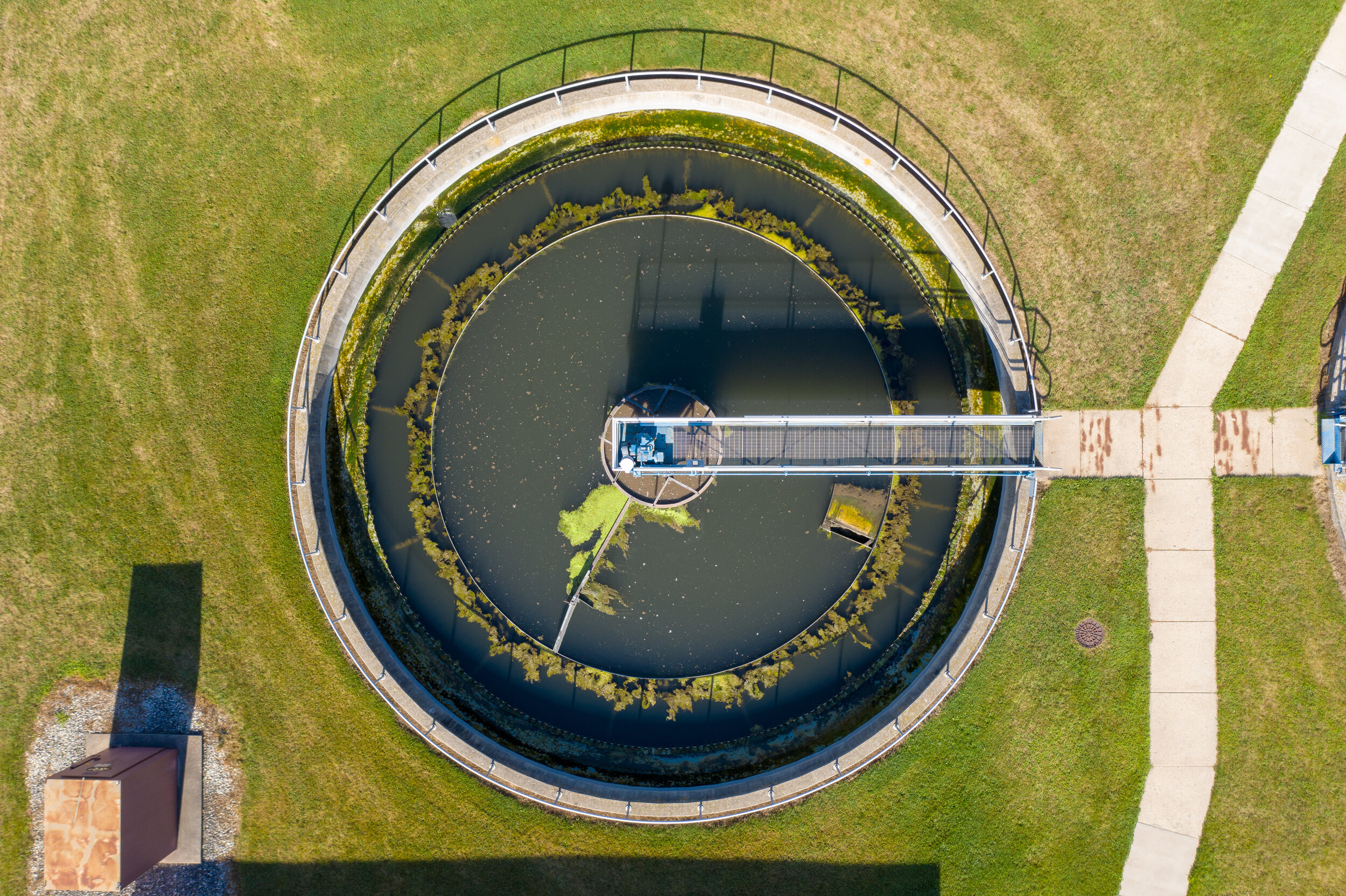
Unmanned Aircraft System (UAS, or drone) technology has become an indispensable data acquisition tool for the modern engineer and surveyor. From simple aerial photography to complex surveying and mapping projects, drone technology adds value to your projects by giving you more information to make critical project decisions. Information that once took days or even weeks to collect can now be captured, processed, and delivered in less than 24 hours, providing an unprecedented level of technical efficiency.
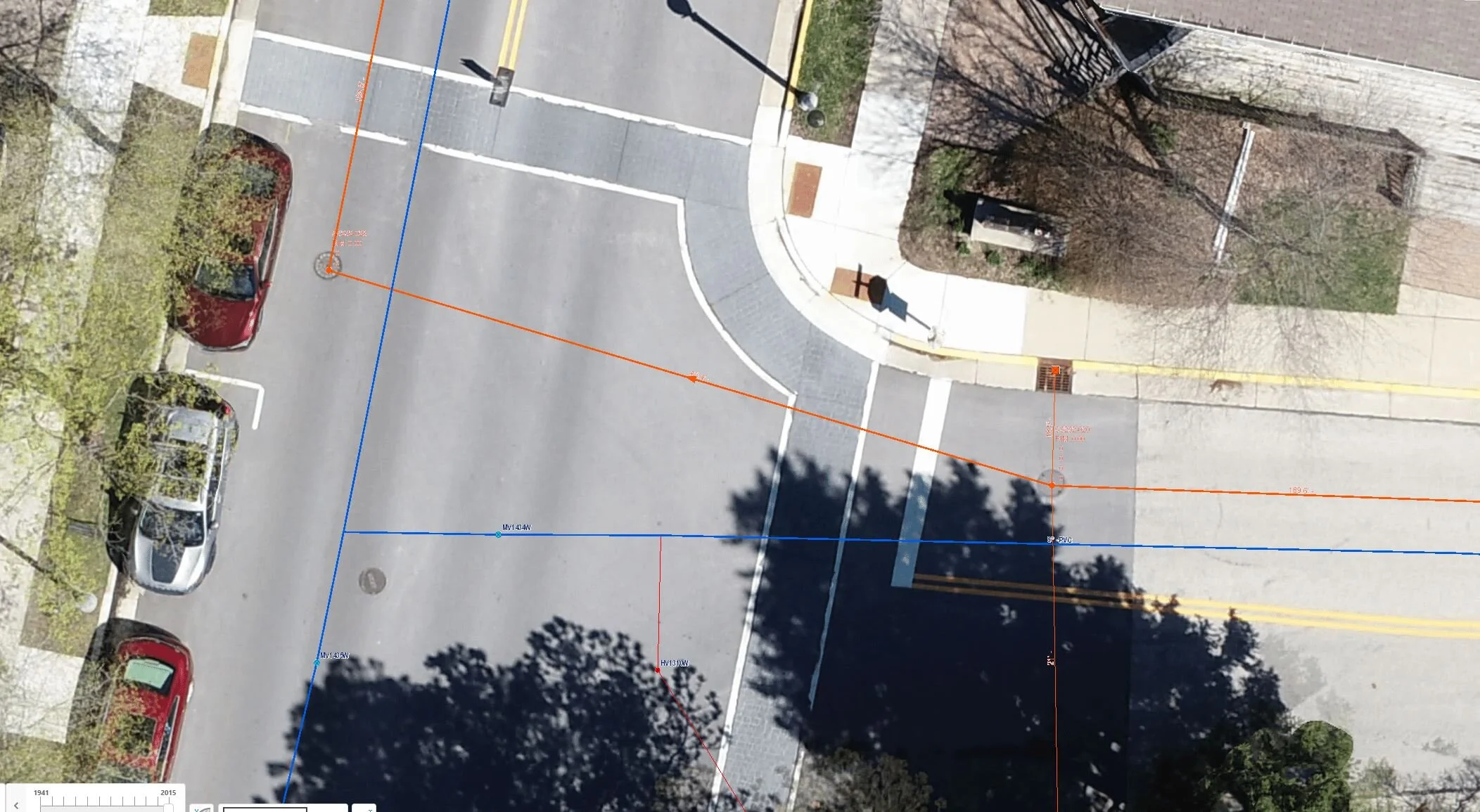
R/M’s state-of-the-art UAS mapping capabilities provide you with accurate, cost-effective, and real-time project information. Having overseen and/or conducted over 885 UAS flights on projects across the country, R/M’s team of FAA-certified Remote Pilots have the skills and experience to safely and efficiently complete a wide variety of UAS operations. Post-flight, R/M’s engineering and survey professionals are experienced in UAS-data processing, modeling, and validation.
Services
Efficiently document and track site conditions, construction progress, earthwork, etc. in real time with routine drone flights. Deliverables include aerial photos & videos, orthophotos, and digital terrain models, oftentimes available within 24 hours of the flight.
Survey parcels ranging from 1 to 1000 acres from the air in a fraction of the time required by terrestrial survey methods. Site conditions should consist primarily of pavement, bare earth, or low vegetation (mowed grass, harvested crops, etc.) for highest accuracy. Deliverables include survey-grade orthophotos, digital terrain models, and planimetric linework.
Quickly and easily map located underground utilities via high-resolution orthophotos generated from drone data. Save time and improve safety compared to traditional survey methods and eliminate any second guessing of the utility routes. Easily import utility linework and orthophotos into your existing GIS/CAD models.
Quickly and completely document pavement conditions with ultra high definition orthophotos created from drone data.
Map and document coastal/environmental conditions with enhanced safety and efficiency. Aerial photos and videos, along with high-resolution orthophotos and digital terrain models, allow you to track these quickly changing environments in nearly real-time.
Inspect and document the condition of your infrastructure assets efficiently and safely with aerial photos and videos, façade orthoplanes, and thermal data.
View your infrastructure or document site conditions from any angle with virtual site tours created from aerial 360 degree panoramas.