Mobile applications help extend the reach of GIS beyond the office by replacing cumbersome paper processes and ensuring high-quality data collection. These lightweight, yet powerful, applications easily put a view of your infrastructure system into the hands of staff in the field, via a mobile phone or tablet.
Benefits of mobile GIS applications
Locate assets quickly.
Easily access asset details including relevant as-builts, service cards, permits, and photos.
Make necessary updates quickly.
streamlined workflow Features

Field Inspection
R/M’s GIS team develops mobile apps that enable streamlined workflows and ensure high-quality data collection with:
Easy-to-choose dropdown lists
Reduces the amount of typing on a small mobile device screen and minimizes data entry errors.
Apps with smart form functionality
Allows for adaptability based on the type of information being collected in the field, such as hiding certain fields if they are irrelevant to the task at hand.
Digital data collection
Enforces required fields, ensuring that staff are not skipping critical information when completing maintenance activities.
Inspection Submissions
These can be submitted immediately upon completion, minimizing lost data from misplaced paper forms, and updated data from the field is instantly viewable on all other views of the GIS as the system is integrated and connected.
Apps also enable offline data
Serves as a collection for disconnected environments; data is easily synced when back in the office.
Integration with GPS

Tree Inventory
R/M can help you integrate these mobile GIS apps with external GPS or GNSS antennas (such as Trimble or Leica) to collect high-accuracy locational data.
INVENTORY
R/M has extensive experience creating mobile applications that are customized to municipalities’ specific inventory needs. Whether it’s capturing trees managed by your streets or forestry department, or easily updating your assets to maintain an accurate utility base, we can build a solution that works for your team. Common examples of mobile GIS apps for inventory needs include:
Forestry inventory, including trees in the right-of-way, condition ratings for valuations, and maintenance needs.
Sign inventory and maintenance to track knockdowns and replacements.
Water service line material inventories to meet LCRR submission requirements and track lead lateral replacements .
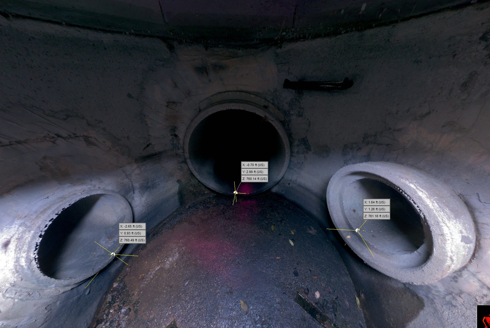
INSPECTIONS
Mobile GIS apps also help staff quickly perform and submit inspections, like manhole inspections or outfall illicit discharge and detection inspections. GIS mobile apps with an integrated map view can also help staff locate assets to inspect more easily than a printed paper map, and inspectors can pull up previous maintenance records for an asset while you are working on it if they need additional information.
With a mobile GIS app, you can easily record maintenance activities while in the field, such as hydrant flushing, valve exercising, or catch basin cleaning. The live integrated view from a GIS app makes it easier to track work progress, as staff can see where other maintenance activities are occurring as they happen, and submitted inspections are viewable in the office as soon as they are completed in the field. These apps are also offline capable, meaning staff can collect data in disconnected environments without having to worry about maps and data loading, and then sync their updates when back in the office.

Outfall Inspection
R/M can help!
R/M can help you integrate these mobile GIS apps with external GPS or GNSS antennas (such as Trimble or Leica) to collect high-accuracy locational data.
ABOUT THE AUTHOR

ENRIKA J. HLAVACEK
GIS Analyst
Enrika has more than ten years of GIS experience including web map and application development, data collection management and integration, and map creation. Enrika provides expertise regarding ArcGIS Online administration and customized application development to support communication apps and internal editing workflows.